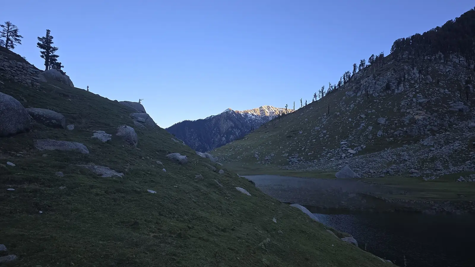
Kareri Lake Trek
Kareri Lake is a 2-day trek in Dhauladhar, Kangra, Himachal Pradesh, topping out at 2,940 m. On TrekBaba's normalized scale — the same formula applied to every trek in this catalogue — it scores 15.2/100, which puts it in the Easy band: a first Himalayan trek is realistic here if you can walk for several hours a day. With a high point of 2,940 m, altitude sickness is unlikely to be the limiting factor.
Photo: Meerah Dhiman · CC BY 4.0 · Wikimedia Commons
Explore the route
Scrub the trail — satellite view, live altitude. 6.1 km
Route drawn from real OpenStreetMap geometry (591 sampled points simplified to 45), elevations from the Copernicus DEM. Imagery © Esri, Maxar, Earthstar Geographics | Route data © OpenStreetMap contributors (ODbL).
Why Kareri Lake is graded Easy
- Max altitude 2,940 m — altitude is weighted 35% and non-linearly, because AMS risk climbs steeply above ~3,500 m.
- Total ascent 1,024 m over 2 days — how much climbing your legs actually do.
- Longest day 4.1 km — one brutal day makes a trek harder than the average does.
- Trail type: graded — exposure (snow, scree, ice, pass crossings) is weighted 35%, the same as altitude.
Score 15.2/100. Bands: Easy <40 · Moderate <64 · Difficult <85 · Very Difficult ≥85. How the formula works. Next step up: Prashar Lake.
Best time to do Kareri Lake
The best months for Kareri Lake are March–June and September–November. February and December are shoulder season — doable, with more weather risk. July–August are risky (The SW monsoon (Jul–Aug) brings landslides, leeches and washed-out views across the Garhwal / Kumaon / HP approaches — best avoided). The route is effectively closed in January. Expect snow on the trail in December–February. Reanalysis climate data for the route's own altitude puts the coldest camp night at about -5 °C in January, and the warmest daytime high near 17 °C in July.
The SW monsoon (Jul–Aug) brings landslides, leeches and washed-out views across the Garhwal / Kumaon / HP approaches — best avoided.
Best-season estimated from the trek's region and altitude — verify locally before committing to dates.
What the thermometer actually does up there
Computed from 10 years of Open-Meteo ERA5 reanalysis (2016–2025), with every sample point lapse-rate-downscaled to its true altitude — this is Kareri Lake high point at 2,940 m, not the valley town. Temperatures are downscaled to the point; wet and snow days come back at the reanalysis grid scale (~10 km), so read them as weather over the area. A climate estimate, not a forecast.
Kareri Lake trek cost — operators compared
Kareri Lake costs ₹2,799–₹5,999 per person with an organised operator (7 of 13 listed operators publish a price; the cheapest captured is Thrillophilia). That works out to roughly ₹1,600 per trek day. Fees typically cover meals, tents and guides from the base village; transport from the railhead, gear rental and permits vary — see the inclusion grid below. Prices are read from each operator's own page (latest capture 2026-09-22) and link straight to it.
- ₹2,799as of 2026-09-22
- Days
- 3
- They grade it
- —
- ·Transport
- ·Meals
- ✓Stay
- ·Permits
- ·Gear
- ₹3,489as of 2026-09-22
- Days
- 3
- They grade it
- —
- ✗Transport
- ·Meals
- ✓Stay
- ✓Permits
- ✓Gear
- ₹4,000as of 2026-09-22
- Days
- 2
- They grade it
- Moderate
- ✓Transport
- ✓Meals
- ·Stay
- ·Permits
- ·Gear
- ₹4,500as of 2026-09-22
- Days
- 3
- They grade it
- Easy to Moderate
- ·Transport
- ·Meals
- ·Stay
- ·Permits
- ·Gear
- ₹4,800as of 2026-09-22
- Days
- 3
- They grade it
- Easy
- ·Transport
- ·Meals
- ·Stay
- ·Permits
- ·Gear
- ₹5,900as of 2026-09-22flat
- Days
- 3
- They grade it
- Easy
- ·Transport
- ·Meals
- ·Stay
- ·Permits
- ·Gear
Show 7 more operators
- ₹5,999as of 2026-09-22
- Days
- 3
- They grade it
- —
- ·Transport
- ·Meals
- ✓Stay
- ✓Permits
- ✓Gear
- Days
- 2
- They grade it
- Easy
- ·Transport
- ·Meals
- ·Stay
- ·Permits
- ·Gear
- Days
- 2
- They grade it
- Easy to Moderate
- ·Transport
- ✓Meals
- ✓Stay
- ·Permits
- ✓Gear
- Days
- 7
- They grade it
- Easy
- ·Transport
- ·Meals
- ·Stay
- ·Permits
- ·Gear
- Days
- 2
- They grade it
- —
- ·Transport
- ·Meals
- ·Stay
- ·Permits
- ·Gear
- Days
- 3
- They grade it
- Easy
- ·Transport
- ·Meals
- ·Stay
- ·Permits
- ·Gear
- Days
- 2
- They grade it
- Moderate to Difficult
- ·Transport
- ·Meals
- ·Stay
- ·Permits
- ·Gear
Operators self-declare difficulty. TrekBaba grades every trek by one formula — normalized: Easy. We link out to each operator; we never copy their words or photos. Prices were read from each operator's own page on the date shown — confirm with the operator before booking. Where we have read a price more than once, the sparkline is our own dated capture log, not the operator's.
Not affiliated with any operator. Prices are dated facts read from each operator's own page; confirm before paying. See every operator on the operators index.
How to reach Kareri Lake & staying safe
To reach Kareri Lake, the nearest railhead is Kangra Mandir (~21 km, OSM) and the nearest airport is Kangra Airport, Gaggal (~14 km, OSM). The road ends at Kareri village, which is where the walking starts. Withdraw cash before face to face (~6 km, OSM) — it is the last dependable ATM. The last reliable shop is at Rahan General Store (~6 km, OSM).
No dedicated acclimatization day is needed at this altitude, but a steady first day still helps. At its most remote point the route is about 3.1 hours from the nearest drivable road (near Kareri Lake high point) — a floor for any evacuation, not a promise. The nearest hospital is Kerala Ayurveda House (~8 km, OSM), 7.5 km from the trailhead. Water: Neelkanth Base (~1 km, OSM).
How far you are from a road
Computed against our own route line and the OpenStreetMap drivable road network over Copernicus GLO-30 elevations: hours = (crowfly_km x 1.4) / 4.0 + max(0, elev_point - elev_road) / 600 [terrain factor 1.4, 4 km/h walking, 600 m/h descent]. It is a floor, not a promise — a real evacuation with a casualty is slower, and a crow-fly line ignores what stands between you and the road. Read it as relative remoteness: which part of this trek commits you. Nearest drivable ways: Kareri Nauhli Trail, unnamed tertiary.
Estimated, not measured. Remoteness is computed from our own route geometry against the OpenStreetMap drivable road network (motorway-track) and Copernicus GLO-30 elevations; mobile coverage is a terrain line-of-sight estimate, not a carrier guarantee. Treat both as planning aids.
OSM-mapped masts only, carrier unknown — a mast-in-sight proxy, not a coverage guarantee. Carrier-by-carrier coverage needs a cell-tower dump; no open, no-signup one exists today, so we publish nothing rather than guess.
Kareri Lake permits & restrictions
Permit required: Yes · HP Forest Dept — Dhauladhar Wildlife Sanctuary (Dharamsala circle)
Forest entry / camping permit obtained at Dharamshala or McLeod Ganj with photo ID, or through a local operator
Crowding, and where to go instead
When the interest arrives, relative to this trek's own busiest month (June).
A percentile of trailing-12-month English Wikipedia pageviews for Kareri_Lake (44 months observed)— measured within TrekBaba's own catalogue, bots excluded. It is a proxy for attention, not headcount.
Same state, within one difficulty band, and at least half the peaks — and quieter: it scores 26/100 against this trek's 69.
Kareri Lake trek FAQ
How difficult is the Kareri Lake trek?
Kareri Lake is graded Easy (15.2/100) on TrekBaba's normalized scale, which weighs max altitude (2,940 m), total ascent (1,024 m), the longest day (4.1 km) and terrain exposure identically for every trek.
What is the best time to do Kareri Lake?
March–June and September–November. February and December are shoulder season — doable, with more weather risk. July–August are risky (The SW monsoon (Jul–Aug) brings landslides, leeches and washed-out views across the Garhwal / Kumaon / HP approaches — best avoided). The route is effectively closed in January. Expect snow on the trail in December–February. Reanalysis climate data for the route's own altitude puts the coldest camp night at about -5 °C in January, and the warmest daytime high near 17 °C in July.
How much does the Kareri Lake trek cost?
Between ₹2,799 and ₹5,999 per person with an operator, based on 7 published prices captured from operator pages (latest 2026-09-22). The cheapest listed is Thrillophilia.
How many days does Kareri Lake take?
2 days is the standard itinerary; operators run it as 2/3/7 days including travel from the base town. The longest walking day is 4.1 km.
What is the maximum altitude of Kareri Lake?
2,940 m (9,645 ft), which TrekBaba rates as low AMS risk.
Is a permit required for Kareri Lake?
Yes — issued by HP Forest Dept — Dhauladhar Wildlife Sanctuary (Dharamsala circle).
Which operators run Kareri Lake?
Thrillophilia, Trekveda, Himalaya Shelter, Himalayan Hikers, Moxtain, Trek The Himalayas, Trekhievers, Bikat Adventures, Trekmunk, Trekkers of India, MadTrek, Tour My India, Universal Adventures list Kareri Lake. Each is linked to its own trek page above with the captured price, days and inclusions.
How do I reach the Kareri Lake trailhead?
To reach Kareri Lake, the nearest railhead is Kangra Mandir (~21 km, OSM) and the nearest airport is Kangra Airport, Gaggal (~14 km, OSM). The road ends at Kareri village, which is where the walking starts. Withdraw cash before face to face (~6 km, OSM) — it is the last dependable ATM. The last reliable shop is at Rahan General Store (~6 km, OSM).
Is Kareri Lake suitable for beginners?
Yes. Kareri Lake is in the Easy band and is a sensible first Himalayan trek, provided you can walk 4.1 km in a day with a daypack.
Treks like Kareri Lake
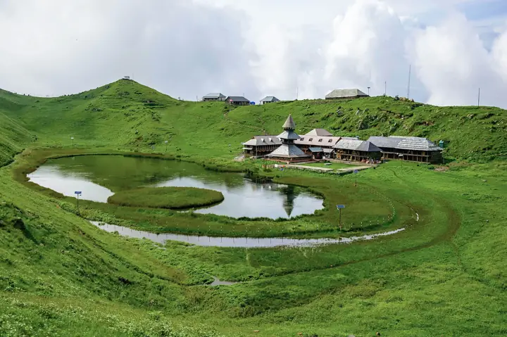 EasyHimachal Pradesh
Prashar Lake
Mandi (Dhauladhar foothills)
2 days↑ 2,730 mfrom ₹2,199Mar–Jun and Sep–Nov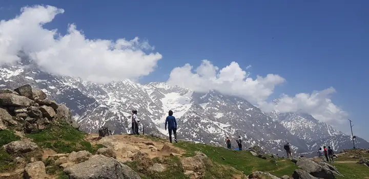 EasyHimachal Pradesh
Triund
Dhauladhar, Kangra
2 days↑ 2,850 mfrom ₹1,899Mar–Jun and Sep–Oct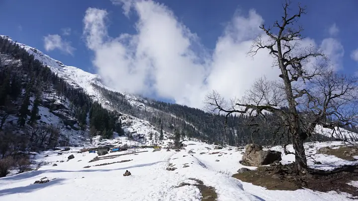 EasyHimachal Pradesh
Kheerganga
Parvati Valley, Kullu
2 days↑ 2,768 mfrom ₹1,099Mar–Jun and Sep–Nov- EasyHimachal Pradesh
Deo Tibba Trail (Jagatsukh)
Kullu
2 days↑ 3,087 mfrom ₹12,800Mar–Jun and Sep–Nov
This trek's altitude, ascent and exposure are computed from OpenStreetMap route data (© OpenStreetMap contributors, ODbL) over the Copernicus DEM — its difficulty grade is provisional, pending field verification.
Difficulty grade, peak horizon, per-camp climate, remoteness, sun alignment and the crowding index are all computed — the moats — and every one of them is an estimate, labelled as such where it appears. Found-fact and operator values are public approximations pending field + source verification, not citations.