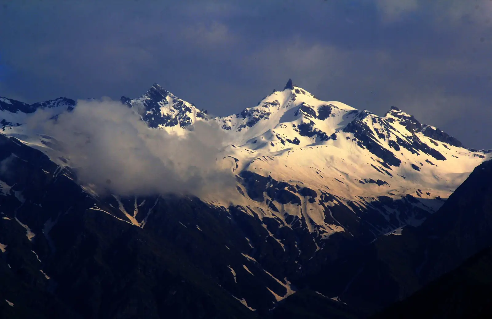
Shrikhand Mahadev Trek
Shrikhand Mahadev is a 2-day trek in Kullu, Himachal Pradesh, topping out at 5,129 m. On TrekBaba's normalized scale — the same formula applied to every trek in this catalogue — it scores 72.8/100, which puts it in the Difficult band: this is for trekkers with prior high-altitude experience; the grade comes from altitude and long days, not just distance. With a high point of 5,129 m, AMS risk is severe — this altitude band demands proper acclimatization and the willingness to turn back.
Photo: Sumita Roy Dutta · CC BY-SA 4.0 · Wikimedia Commons
Explore the route
Scrub the trail — satellite view, live altitude. 18.2 km
Route drawn from real OpenStreetMap geometry (387 sampled points simplified to 88), elevations from the Copernicus DEM. Imagery © Esri, Maxar, Earthstar Geographics | Route data © OpenStreetMap contributors (ODbL).
Why Shrikhand Mahadev is graded Difficult
- Max altitude 5,129 m — altitude is weighted 35% and non-linearly, because AMS risk climbs steeply above ~3,500 m.
- Total ascent 3,942 m over 2 days — how much climbing your legs actually do.
- Longest day 12.3 km — one brutal day makes a trek harder than the average does.
- Trail type: snow — exposure (snow, scree, ice, pass crossings) is weighted 35%, the same as altitude.
Score 72.8/100. Bands: Easy <40 · Moderate <64 · Difficult <85 · Very Difficult ≥85. How the formula works. Easier alternative: Kanamo Peak. Next step up: Pin Parvati Pass.
Best time to do Shrikhand Mahadev
The best months for Shrikhand Mahadev are May–June and September–October. April and November are shoulder season — doable, with more weather risk. July–August are risky (The SW monsoon (Jul–Aug) brings landslides, leeches and washed-out views across the Garhwal / Kumaon / HP approaches — best avoided). The route is effectively closed in December–March. Expect snow on the trail in December–March. Reanalysis climate data for the route's own altitude puts the coldest camp night at about -23 °C in January, and the warmest daytime high near 5 °C in July.
The SW monsoon (Jul–Aug) brings landslides, leeches and washed-out views across the Garhwal / Kumaon / HP approaches — best avoided.
Best-season estimated from the trek's region and altitude — verify locally before committing to dates.
What the thermometer actually does up there
Computed from 10 years of Open-Meteo ERA5 reanalysis (2016–2025), with every sample point lapse-rate-downscaled to its true altitude — this is Shrikhand Mahadev high point at 5,129 m, not the valley town. Temperatures are downscaled to the point; wet and snow days come back at the reanalysis grid scale (~10 km), so read them as weather over the area. A climate estimate, not a forecast.
Shrikhand Mahadev trek cost — operators compared
Shrikhand Mahadev costs ₹21,500–₹22,497 per person with an organised operator (2 of 3 listed operators publish a price; the cheapest captured is HP Tour Travel (Planman's Group)). That works out to roughly ₹3,071 per trek day. Fees typically cover meals, tents and guides from the base village; transport from the railhead, gear rental and permits vary — see the inclusion grid below. Prices are read from each operator's own page (latest capture 2026-09-22) and link straight to it.
- ₹21,500as of 2026-08-11
- Days
- 7
- They grade it
- Moderate-Difficult
- ·Transport
- ·Meals
- ·Stay
- ·Permits
- ·Gear
- ₹22,497as of 2026-09-22
- Days
- 8
- They grade it
- Moderate to Difficult
- ·Transport
- ·Meals
- ·Stay
- ·Permits
- ·Gear
- Days
- 6
- They grade it
- Easy
- ·Transport
- ·Meals
- ·Stay
- ·Permits
- ·Gear
Operators self-declare difficulty. TrekBaba grades every trek by one formula — normalized: Difficult. We link out to each operator; we never copy their words or photos. Prices were read from each operator's own page on the date shown — confirm with the operator before booking. Where we have read a price more than once, the sparkline is our own dated capture log, not the operator's.
Not affiliated with any operator. Prices are dated facts read from each operator's own page; confirm before paying. See every operator on the operators index.
How to reach Shrikhand Mahadev & staying safe
To reach Shrikhand Mahadev, the nearest railhead is Shimla (~64 km, OSM) and the nearest airport is Bhuntar Airport (~53 km, OSM). The road ends at Jaon (Nirmand), which is where the walking starts. Withdraw cash before ICICI Bank (~14 km, OSM) — it is the last dependable ATM. The last reliable shop is at convenience (~16 km, OSM).
Plan 2 acclimatization days into the itinerary. At its most remote point the route is about 8.4 hours from the nearest drivable road (near Shrikhand Mahadev high point) — a floor for any evacuation, not a promise. The nearest hospital is Government Hospital, Arsu (~9 km, OSM), 9 km from the trailhead. Water: water (~7 km, OSM).
How far you are from a road
Computed against our own route line and the OpenStreetMap drivable road network over Copernicus GLO-30 elevations: hours = (crowfly_km x 1.4) / 4.0 + max(0, elev_point - elev_road) / 600 [terrain factor 1.4, 4 km/h walking, 600 m/h descent]. It is a floor, not a promise — a real evacuation with a casualty is slower, and a crow-fly line ignores what stands between you and the road. Read it as relative remoteness: which part of this trek commits you. Nearest drivable ways: unnamed track, unnamed unclassified.
Estimated, not measured. Remoteness is computed from our own route geometry against the OpenStreetMap drivable road network (motorway-track) and Copernicus GLO-30 elevations; mobile coverage is a terrain line-of-sight estimate, not a carrier guarantee. Treat both as planning aids.
Shrikhand Mahadev permits & restrictions
Permit required: Yes · Shrikhand Mahadev Yatra Trust, Nirmand (chaired by DC Kullu)
₹250 non-refundable registration fee (2024 and 2025 yatras)
Mandatory online registration at shrikhandyatra.hp.gov.in; the yatra runs only in a short announced window (10–23 Jul 2025)
Crowding, and where to go instead
When the interest arrives, relative to this trek's own busiest month (July).
A percentile of trailing-12-month English Wikipedia pageviews for Shrikhand_Mahadev (44 months observed)— measured within TrekBaba's own catalogue, bots excluded. It is a proxy for attention, not headcount. Read with care: a pilgrimage as much as a trek; views include yatris.
Same state, within one difficulty band, and at least half the peaks — and quieter: it scores 4/100 against this trek's 88.
Shrikhand Mahadev trek FAQ
How difficult is the Shrikhand Mahadev trek?
Shrikhand Mahadev is graded Difficult (72.8/100) on TrekBaba's normalized scale, which weighs max altitude (5,129 m), total ascent (3,942 m), the longest day (12.3 km) and terrain exposure identically for every trek.
What is the best time to do Shrikhand Mahadev?
May–June and September–October. April and November are shoulder season — doable, with more weather risk. July–August are risky (The SW monsoon (Jul–Aug) brings landslides, leeches and washed-out views across the Garhwal / Kumaon / HP approaches — best avoided). The route is effectively closed in December–March. Expect snow on the trail in December–March. Reanalysis climate data for the route's own altitude puts the coldest camp night at about -23 °C in January, and the warmest daytime high near 5 °C in July.
How much does the Shrikhand Mahadev trek cost?
Between ₹21,500 and ₹22,497 per person with an operator, based on 2 published prices captured from operator pages (latest 2026-09-22). The cheapest listed is HP Tour Travel (Planman's Group).
How many days does Shrikhand Mahadev take?
2 days is the standard itinerary; operators run it as 6/7/8 days including travel from the base town. The longest walking day is 12.3 km.
What is the maximum altitude of Shrikhand Mahadev?
5,129 m (16,827 ft), which TrekBaba rates as severe AMS risk. Plan 2 acclimatization days.
Is a permit required for Shrikhand Mahadev?
Yes — issued by Shrikhand Mahadev Yatra Trust, Nirmand (chaired by DC Kullu). ₹250 non-refundable registration fee (2024 and 2025 yatras).
Which operators run Shrikhand Mahadev?
HP Tour Travel (Planman's Group), Thrillophilia, Bikat Adventures list Shrikhand Mahadev. Each is linked to its own trek page above with the captured price, days and inclusions.
How do I reach the Shrikhand Mahadev trailhead?
To reach Shrikhand Mahadev, the nearest railhead is Shimla (~64 km, OSM) and the nearest airport is Bhuntar Airport (~53 km, OSM). The road ends at Jaon (Nirmand), which is where the walking starts. Withdraw cash before ICICI Bank (~14 km, OSM) — it is the last dependable ATM. The last reliable shop is at convenience (~16 km, OSM).
Is Shrikhand Mahadev suitable for beginners?
No. Shrikhand Mahadev is graded Difficult; TrekBaba recommends prior high-altitude experience.
Treks like Shrikhand Mahadev
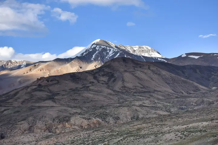 DifficultHimachal Pradesh
Kanamo Peak
Spiti
2 days↑ 5,954 mfrom ₹20,800Jun–Sep- DifficultHimachal Pradesh
Friendship Peak
Kullu
2 days↑ 5,175 mfrom ₹30,000May–Jun and Sep–Oct 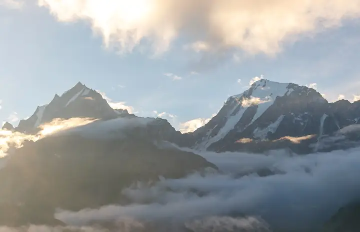 ModerateHimachal Pradesh
Kinner Kailash
Kinnaur
2 days↑ 4,819 mfrom ₹23,000May–Jun and Sep–Oct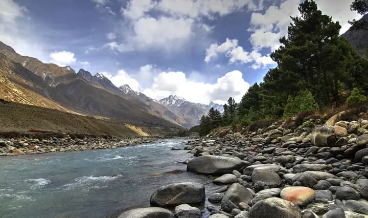 DifficultHimachal Pradesh
Lamkhaga Pass
Kinnaur / Garhwal
6 days↑ 5,279 mfrom ₹28,500May–Jun and Sep–Oct
This trek's altitude, ascent and exposure are computed from OpenStreetMap route data (© OpenStreetMap contributors, ODbL) over the Copernicus DEM — its difficulty grade is provisional, pending field verification.
Difficulty grade, peak horizon, per-camp climate, remoteness, sun alignment and the crowding index are all computed — the moats — and every one of them is an estimate, labelled as such where it appears. Found-fact and operator values are public approximations pending field + source verification, not citations.